
About the St. Louis River
This blog page focuses on the lower St. Louis River estuary, the portion of the river that begins at the Fond du Lac Dam and extends to Lake Superior. This dynamic stretch includes the river’s freshwater estuary, industrial harbor, and coastal wetlands, and highlights the place where river, community, and lake come together.
Below you will find information about the people, industries, flora, and fauna that call this place home. We hope you enjoy discovery the beauty, power, and awe that is the St. Louis River.
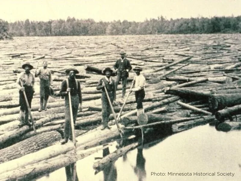
Post-Industrial History
Completed in 1870, the Lake Superior and Mississippi Railroad connected the Mississippi River to Lake Superior, overcoming steep grades, treacherous trestles, and spring mudslides. Its arrival sparked Duluth’s explosive growth, turning a tiny settlement into a booming port city in just a few years.
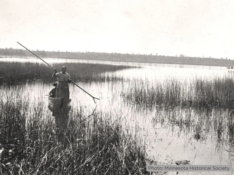
Pre-Industrial History
The Fond du Lac region, known as the “Head of the Lakes,” has been home to Native peoples for thousands of years. Anishinaabeg communities thrived along the St. Louis River, relying on wild rice, fishing, and trade. A vital travel and fur trade route, the area later became a center for exploration, missions, and early settlement shaping the Twin Ports.
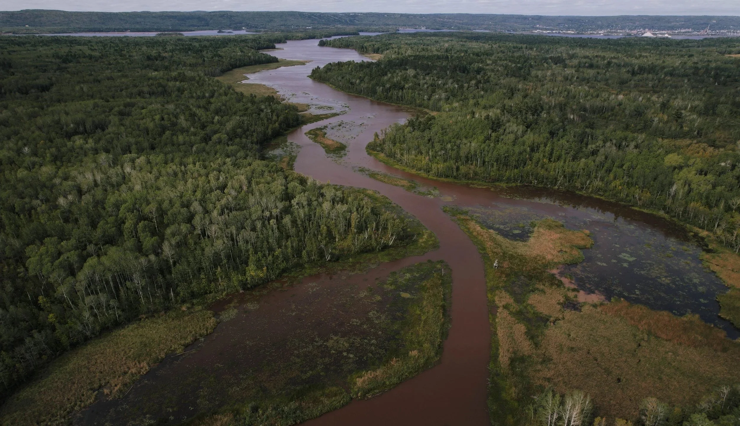
Natural History
The lower St. Louis River is a rare Great Lakes freshwater estuary shaped by geology, rising Lake Superior waters, and time. Baymouth bars (Minnesota and Wisconsin Point) protect sheltered wetlands found nowhere else outside the region. Though development has reduced wetlands, the estuary still supports vital habitat for migratory birds and a diverse warm-water fish community, including lake sturgeon, walleye, and northern pike.

Geologic History
The lower St. Louis River was shaped by ancient bedrock and powerful glacial forces. As glaciers retreated over 10,000 years ago, meltwater carved channels and deposited red clay, sand, and silt from Glacial Lake Duluth. Land rebound and shifting waters later formed today’s freshwater estuary, sheltered from Lake Superior by a baymouth sand bar. Learn more about the Geologic history here!