
Plan Your Trip
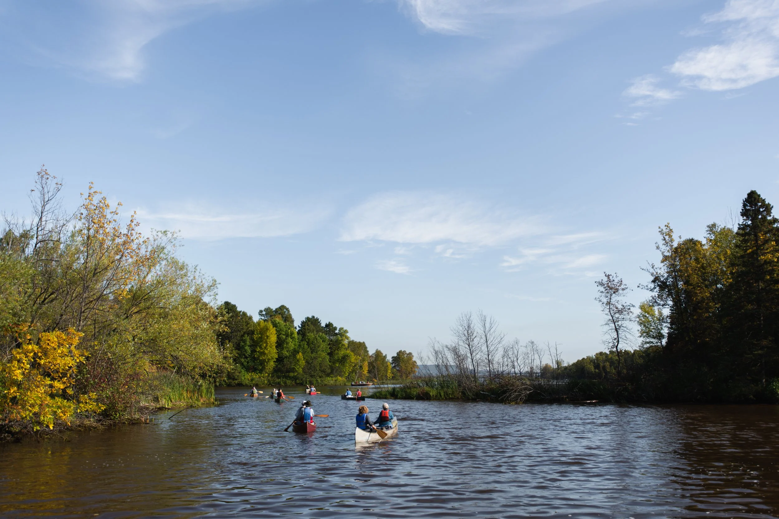
The St. Louis River Estuary National Water Trail is a great place for newer paddlers, with many sheltered bays and shoreline routes. However, like any river, it requires awareness and planning. Some areas contain strong current, cold water, and large woody debris that can block passage or create hazards. Open water areas can also develop waves quickly in windy conditions.
If you are new to paddling, choose shorter routes, stay close to shore, and avoid the main channel and shipping areas. Review the map, consider wind and distance, and allow extra time. Start in protected areas and build skills and confidence before exploring more exposed parts of the estuary.
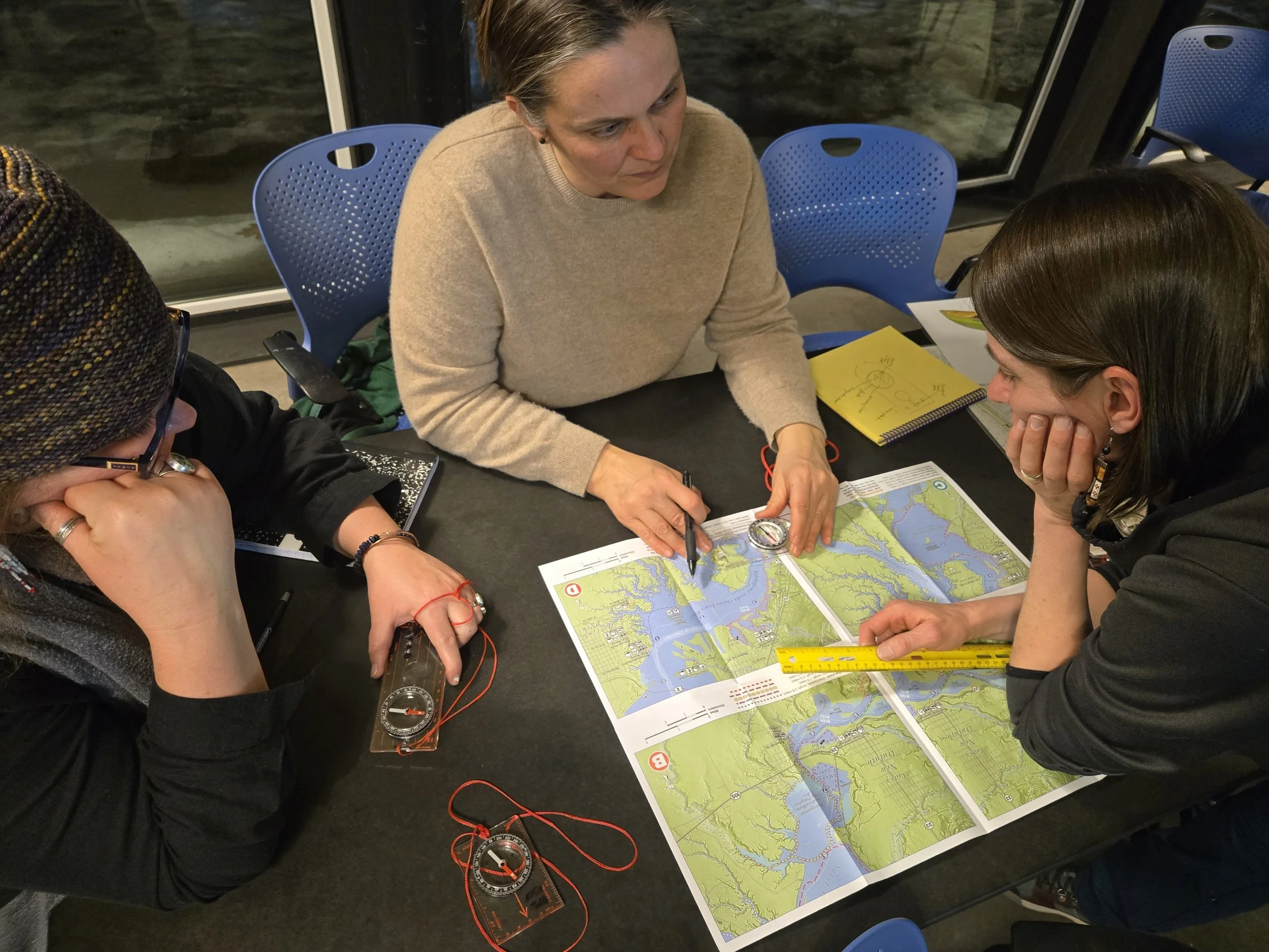
Maps
We have a free recreational map that highlights route options, access points, and key features to help you paddle safely and confidently. Download digital PDFs today or pick up a free printed map at these locations or at the St. Louis River Alliance office at 394 S Lake Ave. Suite 604 in Duluth, Minnesota.

Safety
The St. Louis River Estuary is a dynamic Great Lakes environment where waters from Lake Superior and the St. Louis River mix, creating constantly changing currents, water levels, and temperatures. Before heading out, review the weather forecast, water temperature, river current, dam releases, and any commercial ship traffic in the harbor.
Cold water, wind, and vessel traffic can create challenging conditions, even on calm days. Always complete a float plan and check current paddling conditions on the Paddle Safe Twin Ports website. Visit the Safety Essentials page for forecasting and monitoring resources.
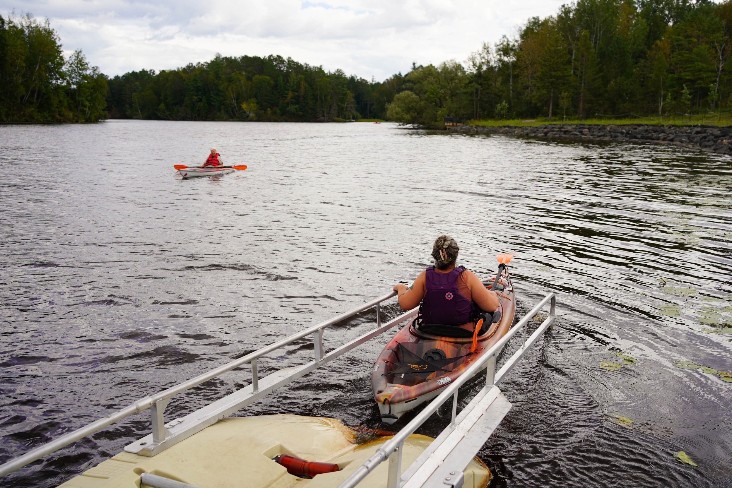
Choose Your Route
The Water Trail stretches from the Fond du Lac Dam to Wisconsin Point, with access points along the way. Below are posts describing each of the 11 National Water Trail routes. Click the image or title to watch a short video and learn about unique trail features.
Sort by Skill Level: Novice Trails Intermediate Trails Expert Trails


Local Outfitters & Camping
Make the most of your trip on the St. Louis River Estuary National Water Trail with help from local outfitters and partners. Find places to rent or buy gear, camp near the water, join guided trips, and access convenient launch and storage locations throughout Duluth and Superior.
Itineraries
Looking for inspiration? Explore our curated paddling itineraries below for suggested routes, trip highlights, and local tips to help you make the most of your time on the water.


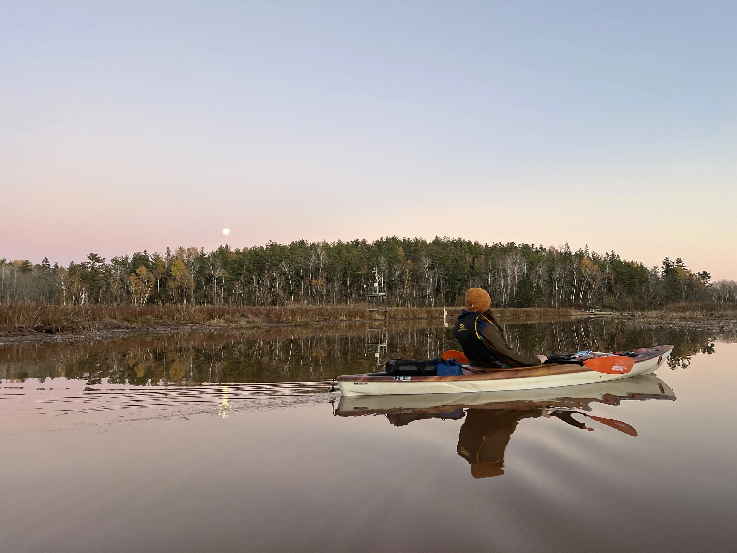


Discover the River
The St. Louis River Estuary National Water Trail offers more than 12,000 acres of sheltered bays, islands, and shoreline to explore. Paddle through quiet backwaters, enjoy excellent birdwatching, and cast a line for walleye, bass, and other fish. Whether you’re here for wildlife, fishing, or a peaceful paddle, the estuary offers something for everyone.