
Superior Bays Full-Day Paddle Itinerary: Scenic Estuary Adventure
Exploring the St. Louis River Estuary National Water Trail
Activity: Full-Day Paddle with Lunch & Hike
Route: Woodstock Bay → Kimballs Bay → Billings Park Hike + Lunch → Superior Bays (optional lunch at Dwight’s Point instead of Billings Park)
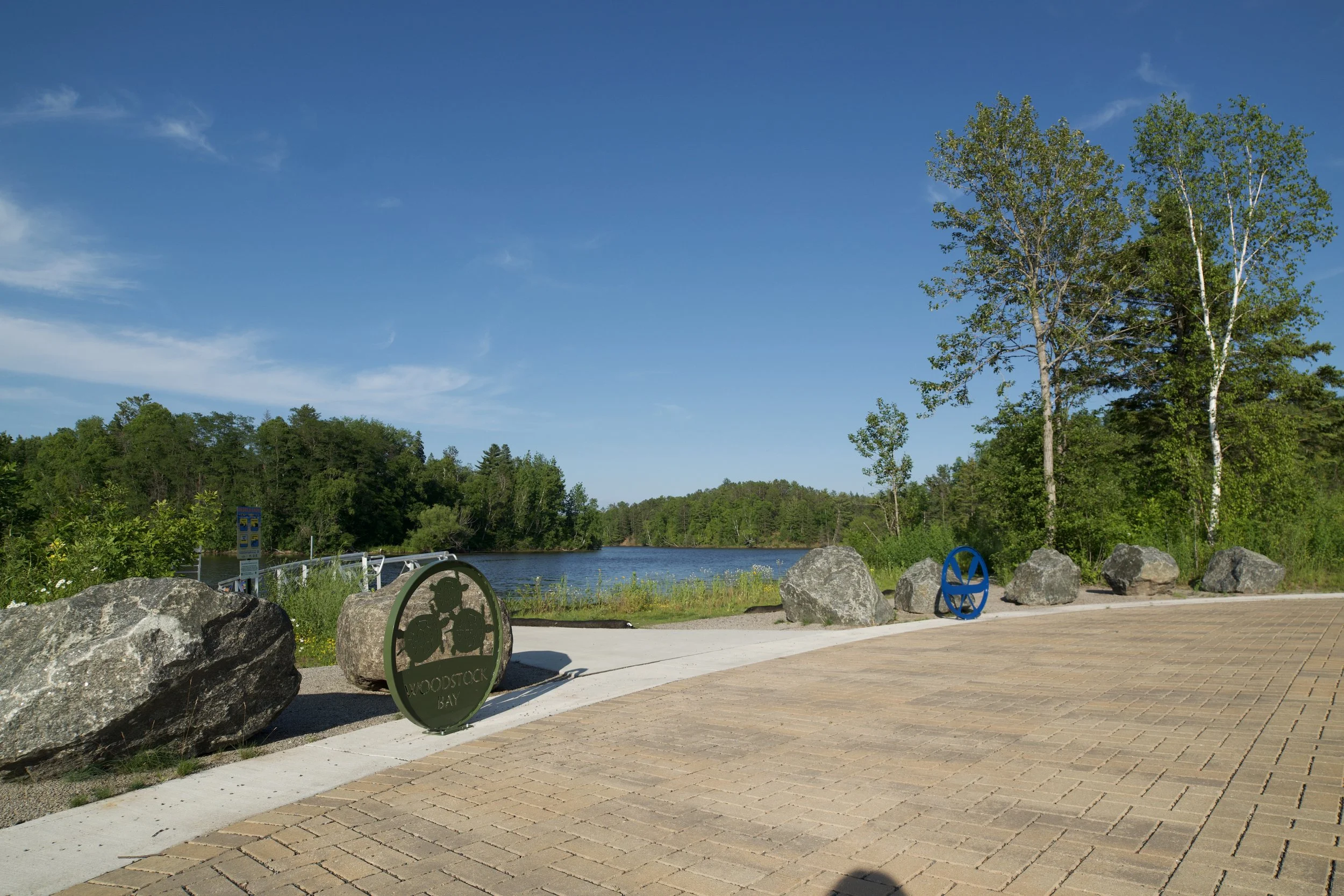
Launch Point: Woodstock Bay Landing
SLRE NWT Route: Superior Bays (Panel D)
Distance: 5-12 miles, depending on lunch/hike choice
Time: 6-8 hours depending on pace, wind, and weather conditions
Experience Level: Intermediate
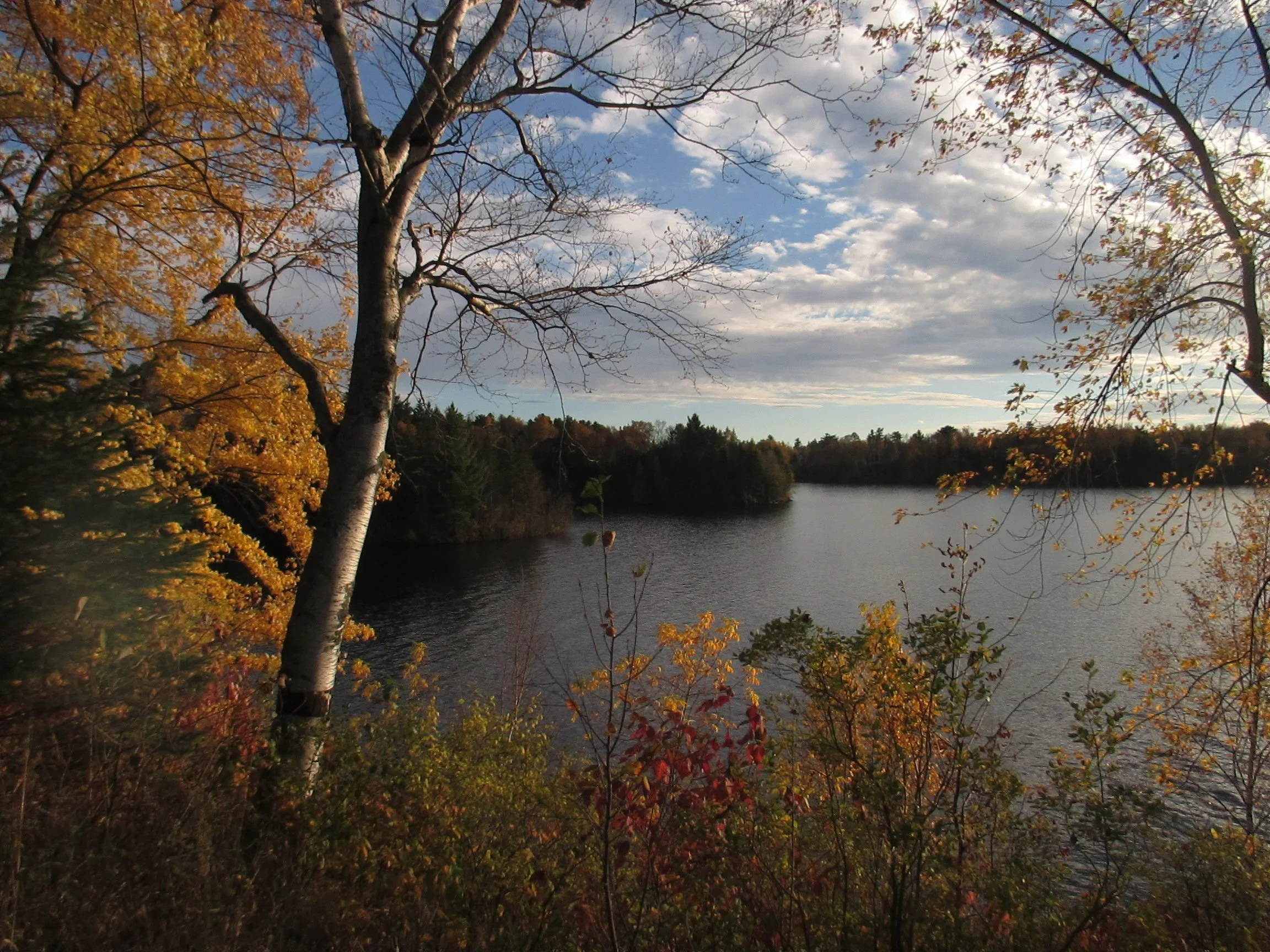
Trip Highlights: Panoramic estuary views, steep rocky cliffs, wildlife encounters, and a mild hike to explore by land.
Note:
Wisconsin requires a parking permit for boats, canoe, and kayak trailers.
Share your photos with us using #SLRENWT.
Pack in, pack out. Please practice Leave No Trace principles!
Overview
Explore the Superior Bays on this full-day paddle, offering some of the most scenic stretches of the St. Louis River Estuary. Along the way, paddle through calm bays, hike to enjoy rustic vistas, and observe abundant wildlife. With flexible route options—shorter or longer depending on stops—this adventure is ideal for paddlers of all ages and skill levels.
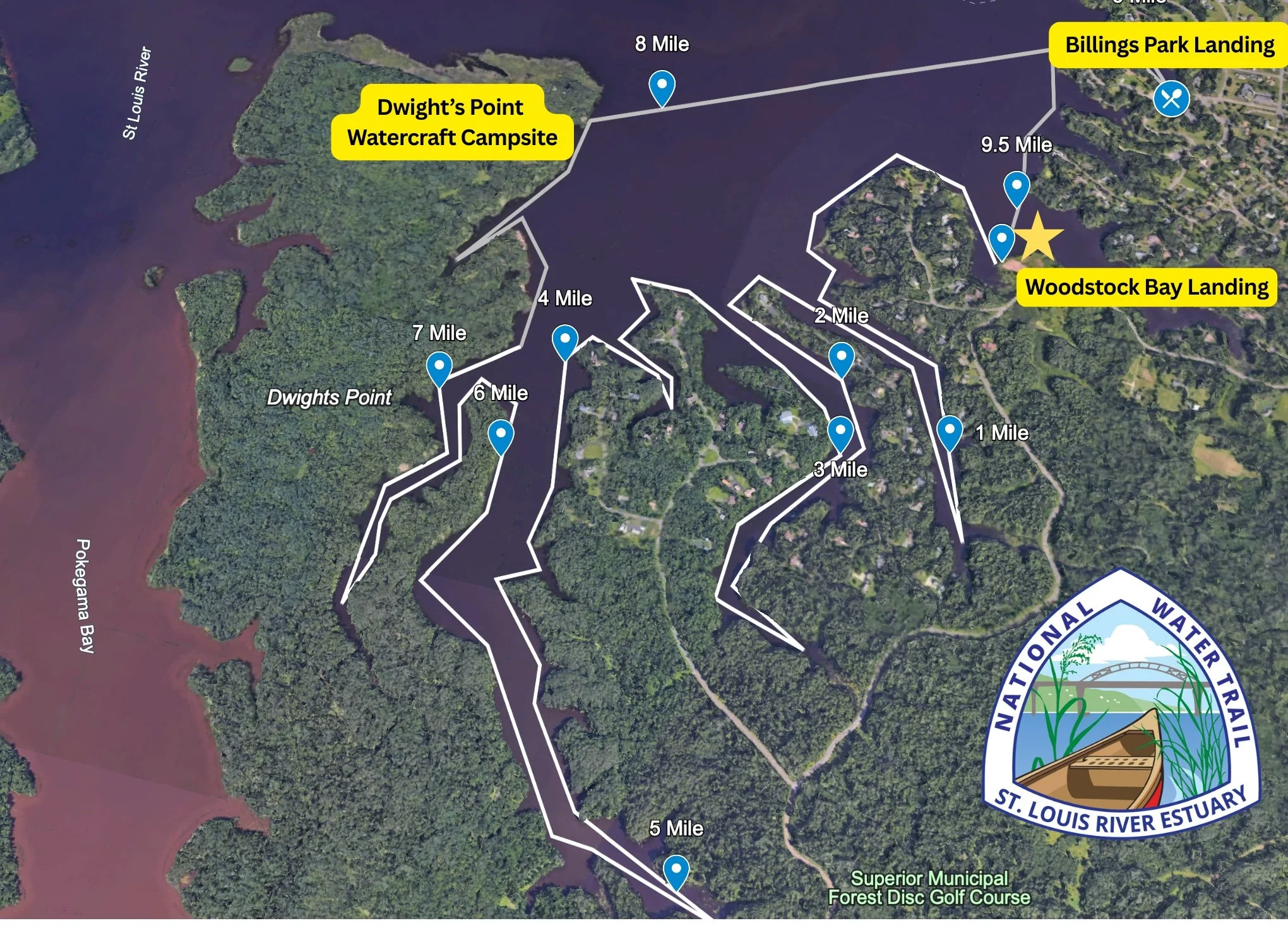
The above map was created on Google Earth and outlines a route exploring Superior Bays. The gold star indicates Woodstock Bay Landing as your launching point. Each blue marker indicates 1 mile. This map should not be used for navigational purposes.
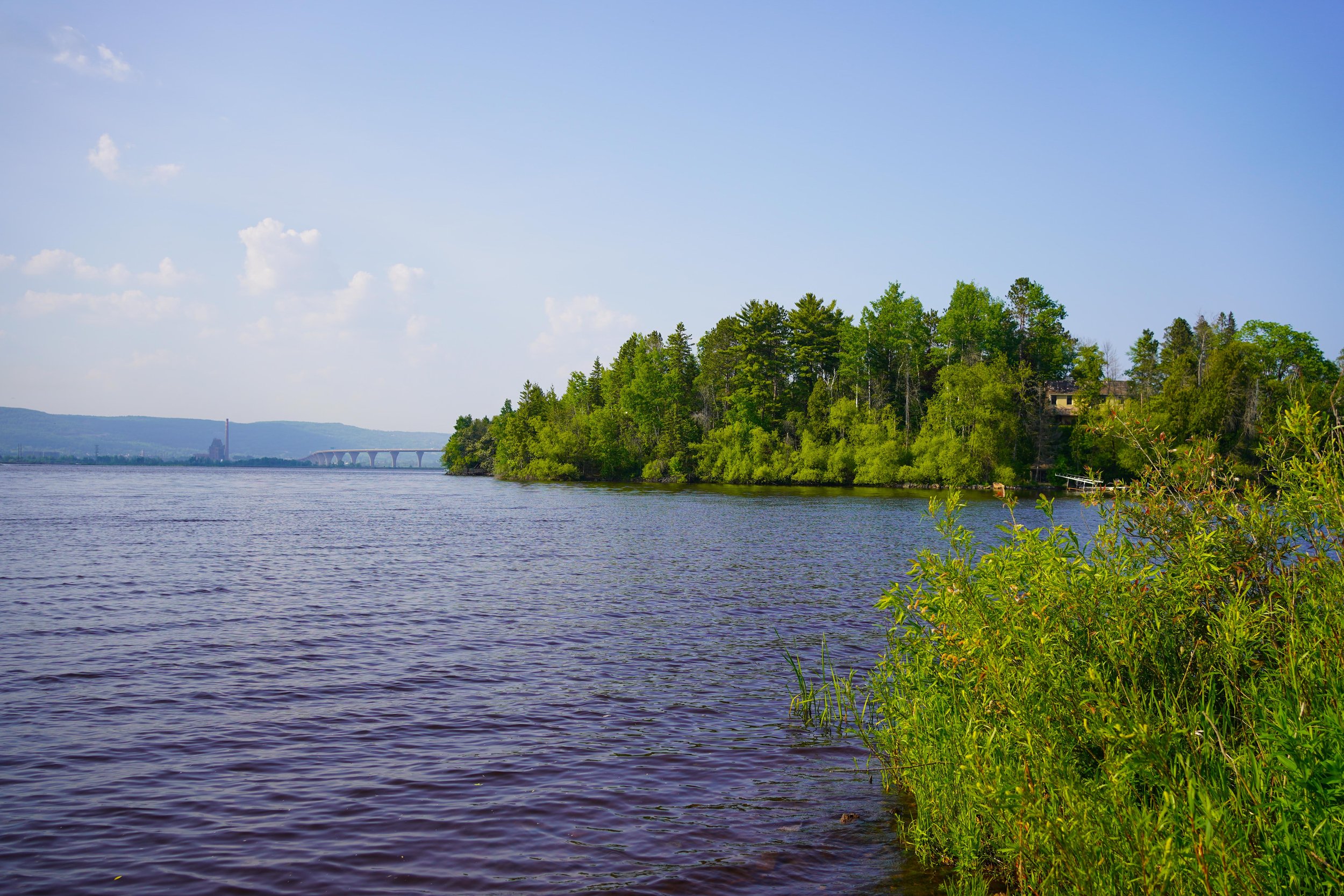
View of Duluth hillside from Woodstock Bay Landing.
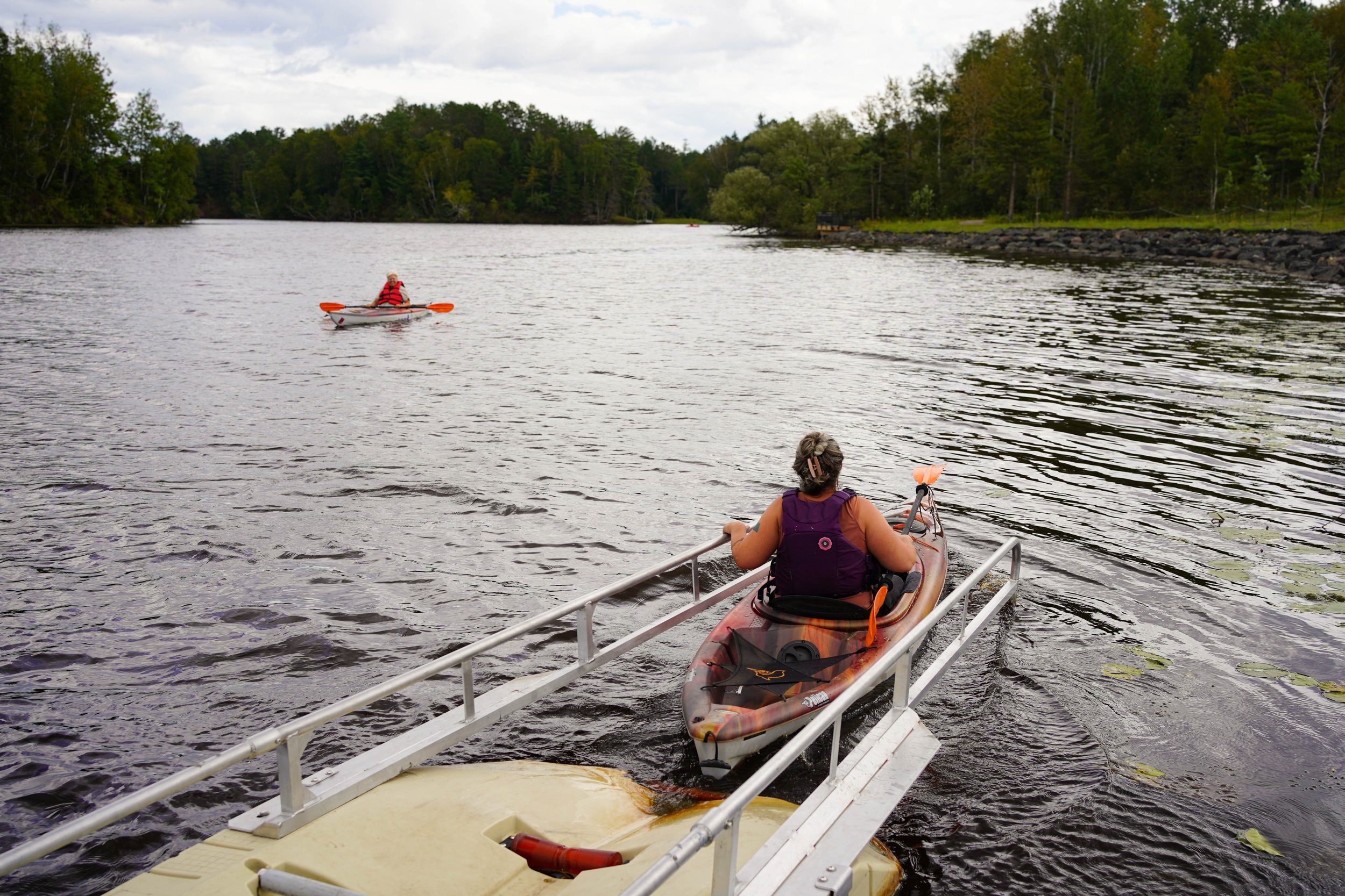
ADA kayak and canoe launch at Woodstock Bay Landing.
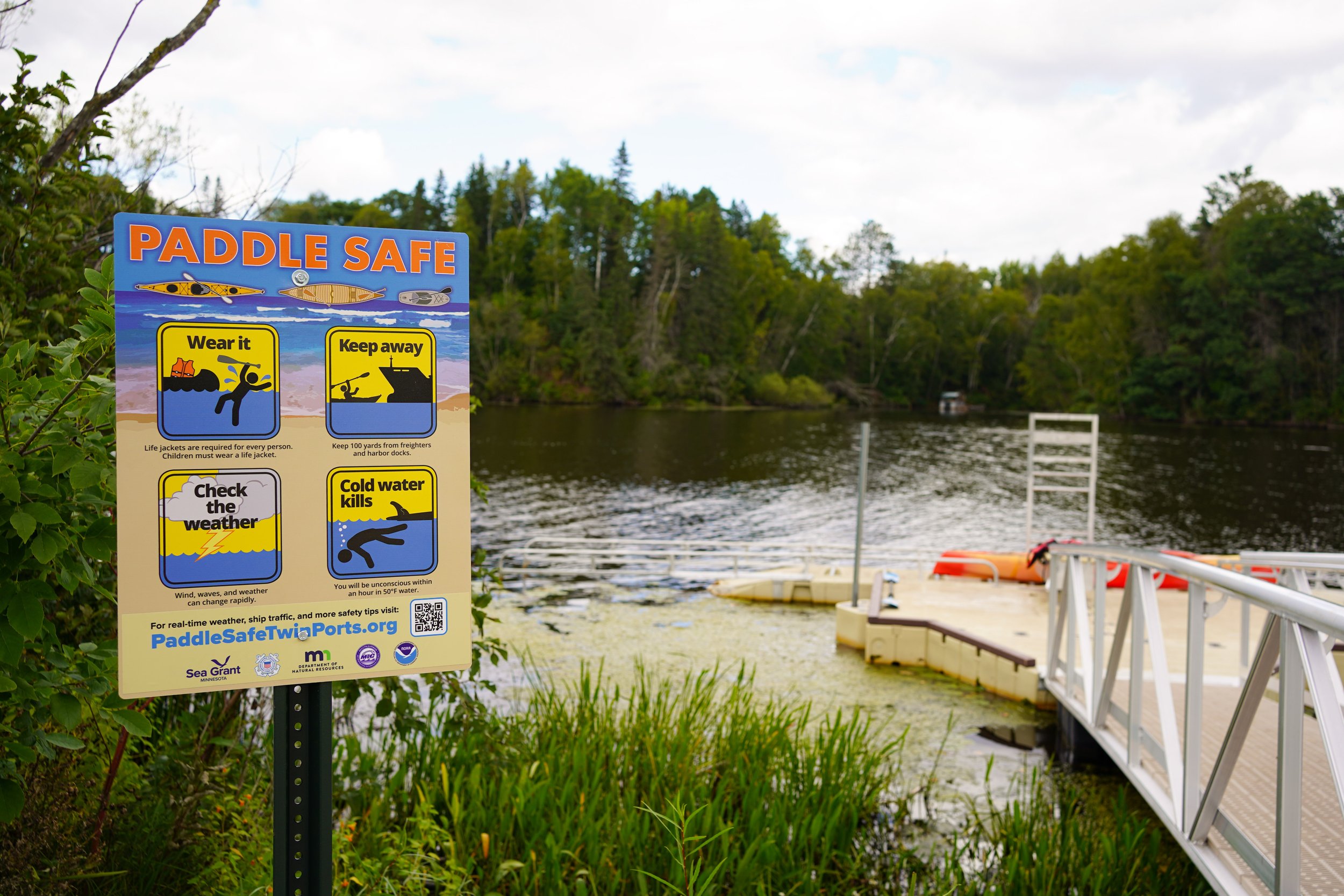
Dock and ADA kayak and canoe landing at Woodstock Bay.
Itinerary
Launch at Woodstock Bay Landing
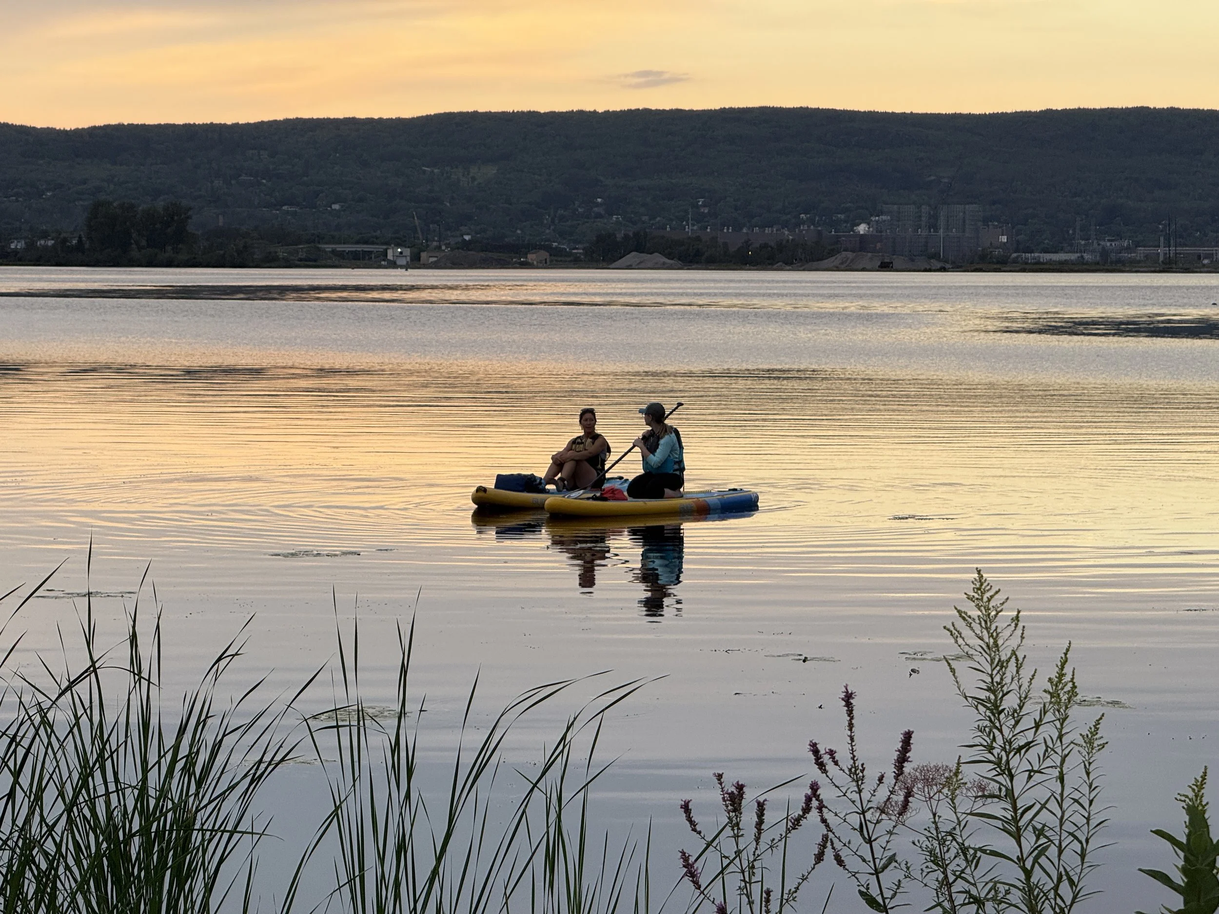
Start at Woodstock Bay, which features an ADA-accessible kayak/canoe launch, restrooms, shaded pavilion, picnic tables, fishing pier, and a bike repair station. Begin paddling across calm waters, spotting eagles, herons, and waterfowl along the shoreline.Paddle to Kimballs Bay
Continue up river into Kimballs Bay, taking in panoramic views of Duluth, steep rocky cliffs, and pristine estuary scenery. This section is ideal for photography, wildlife observation, or simply enjoying the natural surroundings.Lunch & Hike
Billings Park: Land for a rustic lunch, explore hiking trails, interpretive trails, or Girl Scout Point, and relax at the shaded pavilion with picnic tables and grills.
Dwight’s Point (Optional): A quieter alternative for lunch with equally scenic views if you prefer to skip Billings Park.
Continue Through Superior Bays
Paddle through smaller inlets observing wildlife such as ducks, herons, and occasionally eagles. Respect private property along the shoreline; stop only at designated public land or landings.Return to Woodstock Bay
Complete your loop back to Woodstock Bay, reflecting on the day’s vistas, wildlife encounters, and peaceful estuary experience.
Notes & Safety
Distances range from 5–12 miles; plan based on skill and endurance
Much of the shoreline is privately owned—stop only at public access points
Winds can create choppy conditions in open bays
Bring water, snacks, safety gear, and check weather conditions before launching

Drone image of Billings Park Landing. Photo Credit: Matthew Sperrazza.
Land Activities & Amenities
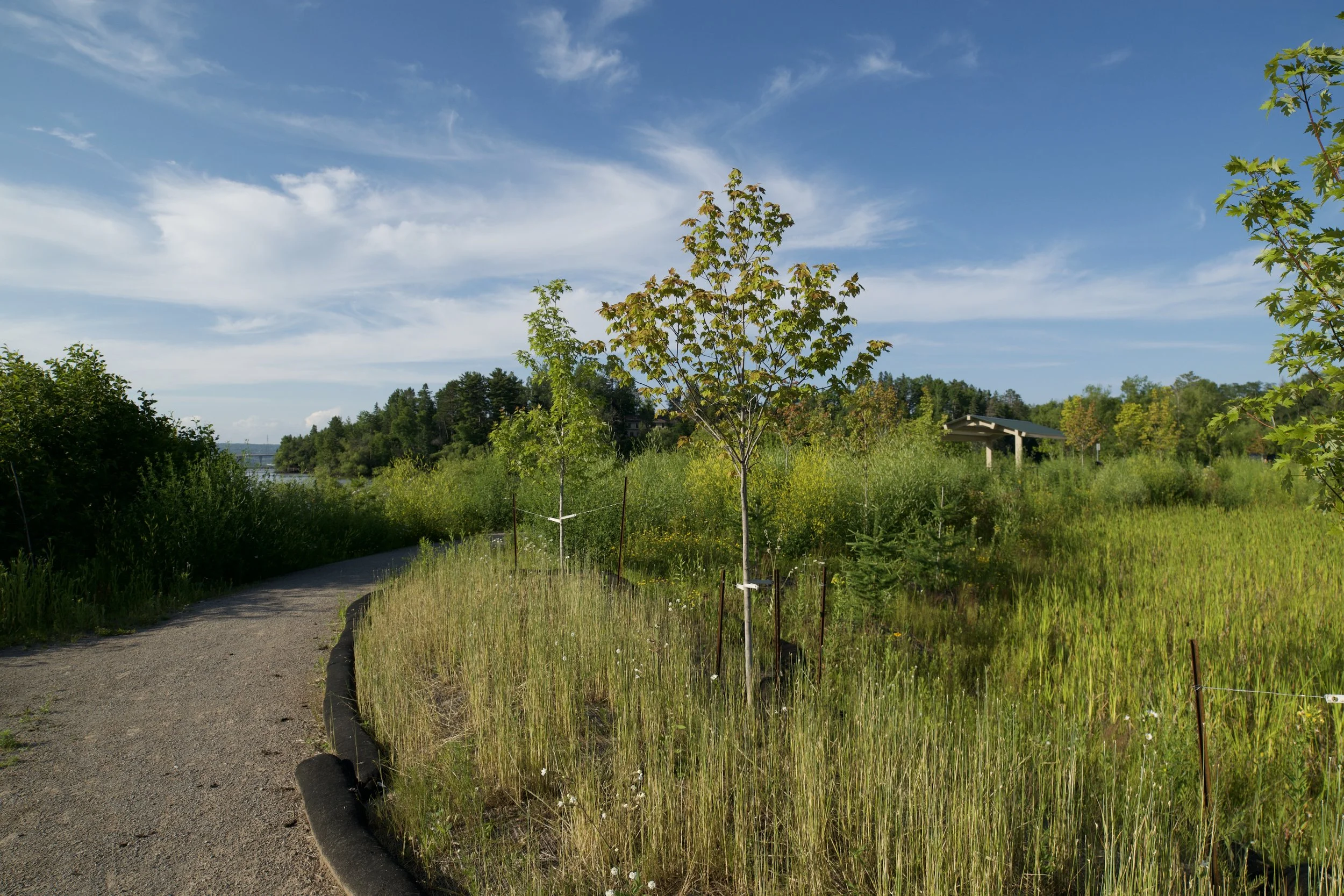
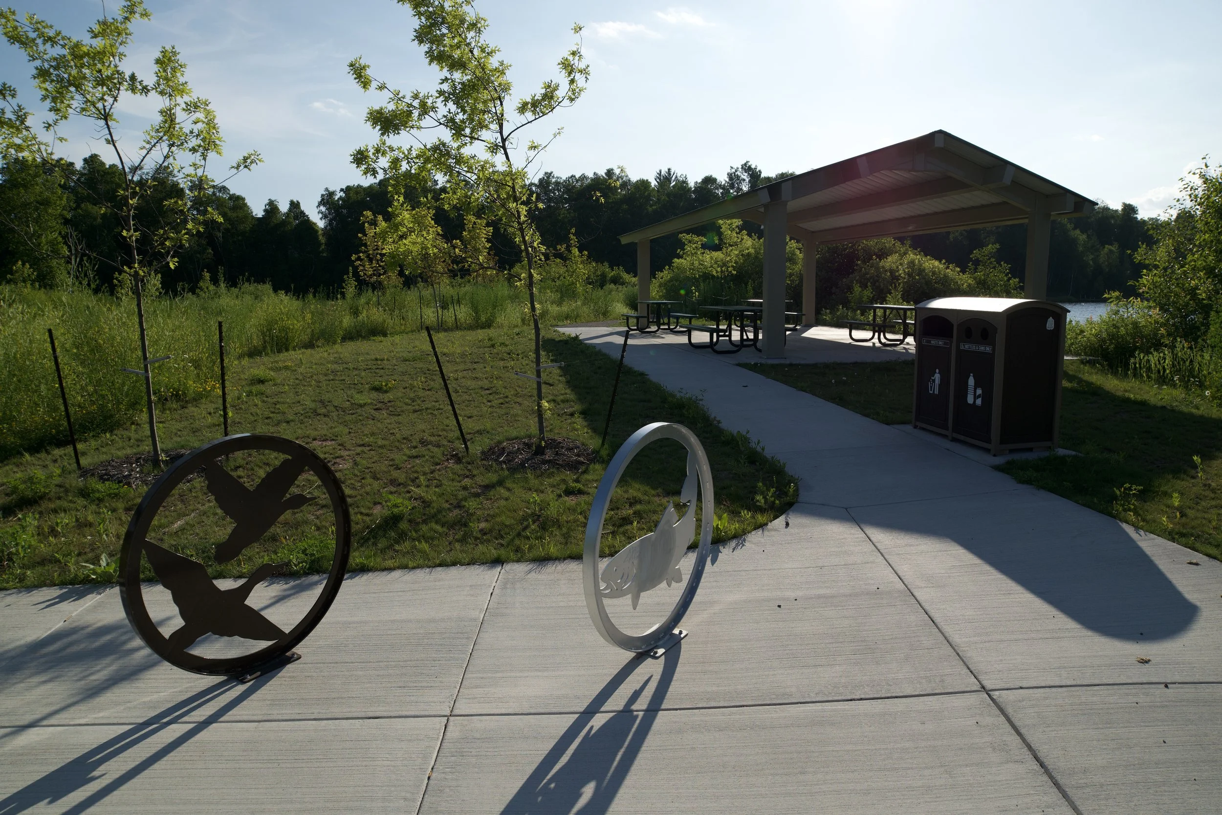
Woodstock Bay: ADA launch, restrooms, shaded pavilion, picnic tables, fishing pier, bike repair station. Activities: fishing, hiking, BBQ
Billings Park: Restrooms, playground, shaded pavilion, story walk, hiking trails, Girl Scout Point hike, grills. Activities: hiking, plant identification, BBQ
Trip Highlights
Stunning panoramic views of Duluth and surrounding cliffs
Wildlife viewing: eagles, herons, ducks, beavers, muskrats
Rustic lunch and short hike at Billings Park or alternative stop at Dwight’s Point
Flexible distances to accommodate different paddling abilities
Some of the most scenic, photogenic stretches of the St. Louis River Estuary


The St. Louis River Alliance developed this itinerary using Federal funds under award NA24NOSX419C0020 from the Coastal Zone Management Act of 1972, as amended, administered by the Office for Coastal Management, National Oceanic and Atmospheric Administration (NOAA), U.S. Department of Commerce provided to the Minnesota Department of Natural Resources (DNR) for Minnesota’s Lake Superior Coastal Program.