
National Water Trail Maps have been distributed throughout Twin Ports!
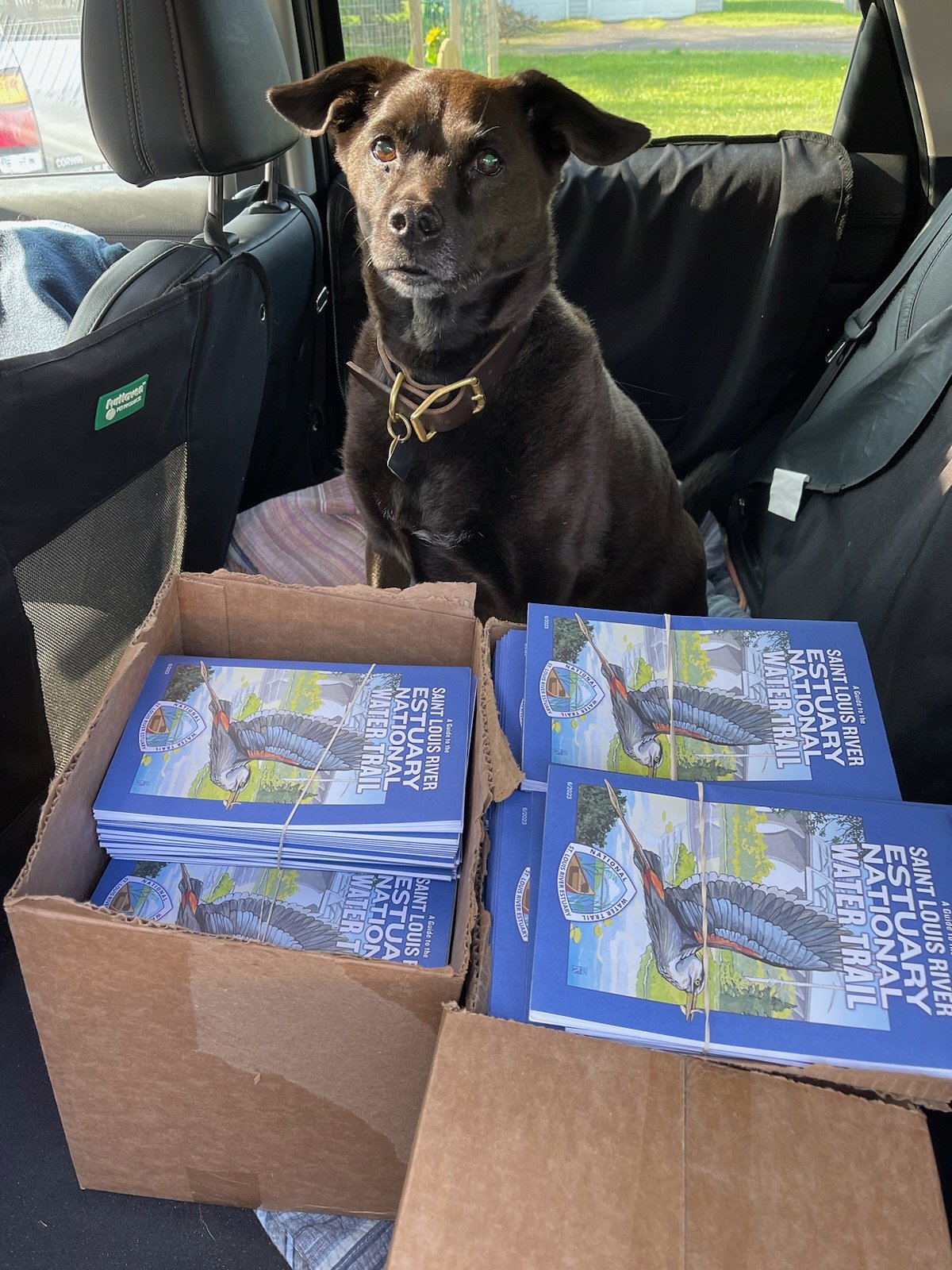
We have distributed hundreds of St. Louis River Estuary National Water Trail Maps throughout the Twin Ports and beyond!
You can pick one up at one of the many local businesses and organizations listed HERE as well as outside the St. Louis River Alliance office at 394 S Lake Ave. Suite 604 in Duluth.
If you are interested in being a map distribution location, please fill out this short google form: https://tinyurl.com/2023-nwt-map-locations
You'll notice some big changes on this edition; thanks to the Fond du Lac Gegaanzongejig Language Program we have been able to add Ojibwe place names for some of the most prominent locations along Gichigami-ziibi, the St. Louis River! Miigwech to everyone at the Fond du Lac Language Program for your help and for being so willing to work with us to share the language.