Wisconsin Point
Resiliency Study
Project Goal
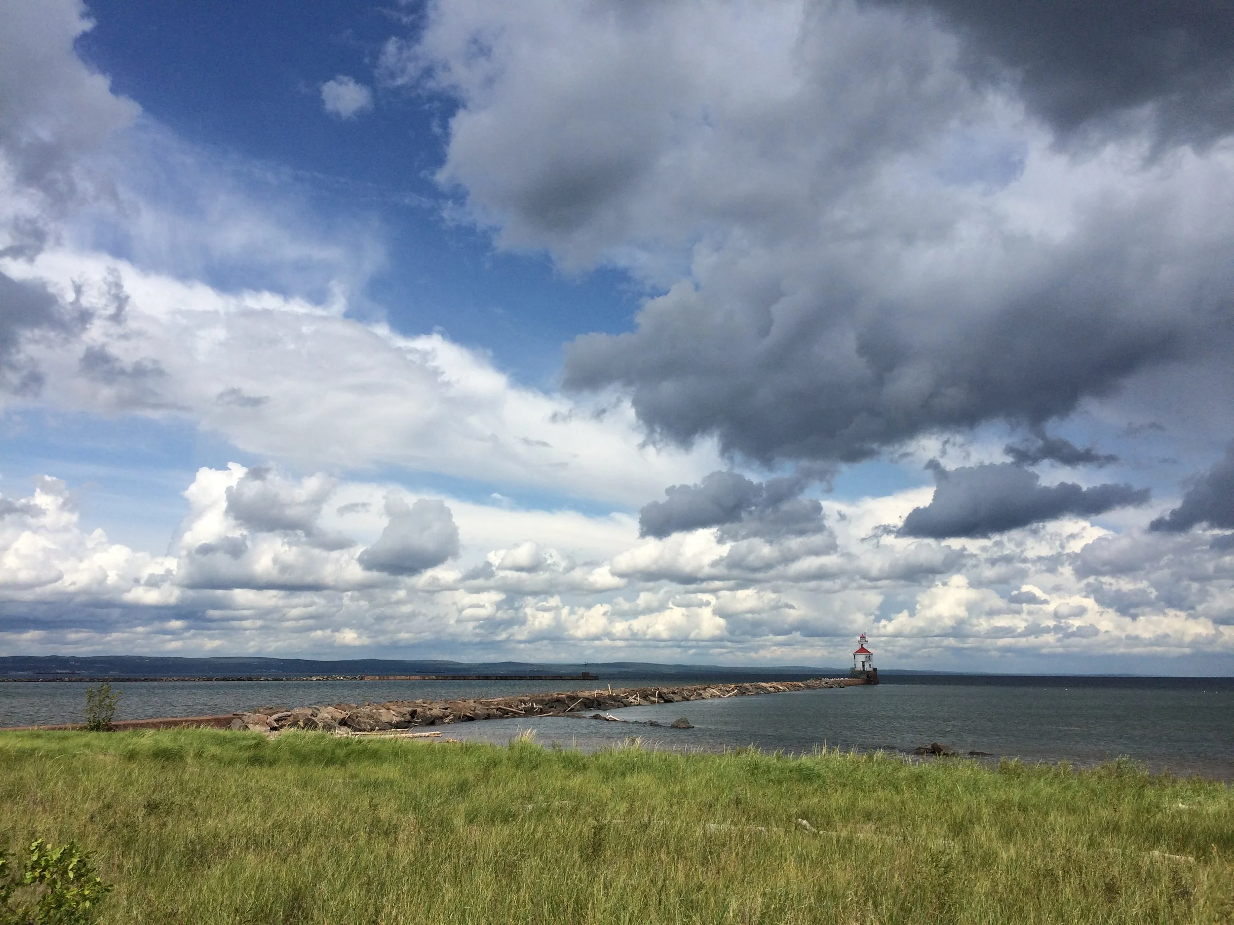
Wisconsin Point is changing. Higher lake levels and stronger storms have caused the shoreline to erode, affecting habitats and how we enjoy the beach. The Wisconsin Point Resiliency Study brings together science and community voices to understand what’s happening and explore strategies to make Wisconsin Point more resilient in the future. The information gathered will help guide future protection and management efforts for this cherished place.
The City of Superior and its partners are seeking feedback from users in order to understand how you use Wisconsin Point and what about it is important to you. Survey responses will be anonymous and will take ~15 min.
Click the image above, scan the QR code, or click here to complete the survey.
What is the issue?
High water levels in Lake Superior within the past decade has resulted in erosion and narrowing of Wisconsin Point shorelines. While water levels have since lowered, both increasing and decreasing water levels are predicted to become more common in the future due to climate change. In addition, storms are predicted to become more intense, which can result in periodic high lake levels due to storm surges. Impacts of storm surge and high water levels in general include erosion of beaches and coastlines, damage to coastal habitats, damage to shoreline infrastructures, and elevated risks of drowning associated with rip currents.
What is being done?
This study will gather scientific data and community input to inform recommendations for increasing the resiliency of Wisconsin Point to these changes. Data to be collected includes water depth measurements, sediment grain size data, aerial imagery, vegetation surveys, and compilation of historical data, along with modeling of wave and energy conditions at Wisconsin Point.
In addition, we are also collecting input from the public to learn more about how visitors enjoy Wisconsin Point and what should be done to make the area more resilient. Data will be compiled and reviewed. Following data collection, numerical modeling will support evaluation of a range of approaches to protect Wisconsin Point from impacts of climate change like changes in water level and storm surge. Findings from the study will inform management plans and future actions, pending funding availability.
What is the project status?
This study started in 2025. Data collection will continue through the end of 2025. Modeling and evaluation will begin in early 2026, supported by project partners. Depending on the results from the study, concept or engineering designs may be developed following the study. Results will be incorporated in future updates to the Wisconsin Point Management Plan.
Who is leading the project?
Project Leads: City of Superior and the Wisconsin Department of Natural Resources.
Advising Partners: Wisconsin Sea Grant, Wisconsin Coastal Management, the Lake Superior National Estuarine Research Reserve, the National Oceanic and Atmospheric Administration, US Army Corps of Engineers, Fond du Lac Band of Lake Superior Chippewa, Great Lakes Indian Fish and Wildlife Commission, Minnesota Land Trust, University of Pennsylvania Stuart Weitzman School of Design, Minnesota Point 50, and Douglas County.
Consultant Team: Led by AMI Consulting Engineers and includes Limno Tech, Ramboll, Nordic, and University of Minnesota Duluth.
Questions?
Contact project lead: Molly Wick, Wisconsin DNR at Molly.wick@wisconsin.gov or 715-817-8510

