A Peaceful Paddle: Half-Day Pokegama Bay Itinerary
Exploring the St. Louis River Estuary National Water Trail from Wisconsin
Activity: Half-Day Excursion within the Superior Municipal Forest
Launch Point: Pokegama Bay Landing
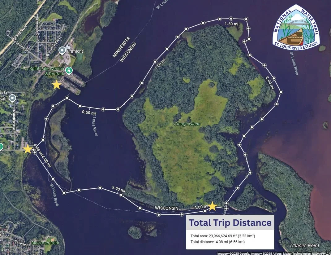
SLRE NWT Route: Pokegama Bay Paddle
Distance: 3-10 miles
Time: 3-5 hours (depending on pace, wind, and weather conditions)
Experience Level: Novice to Intermediate (excellent for newer paddlers due to sheltered water and an easy to navigate out-and-back)
Trip Highlights: Paddling through the Superior Municipal Forest, the 3rd largest municipal forest in the nation. Comprised of 4,400 acres of forest and natural habitat, this is one of the best remaining examples of a boreal forest (conifers and hardwood, including white and red pine, balsam, cedar, black spruce, white birch, and aspen) in the State of Wisconsin.
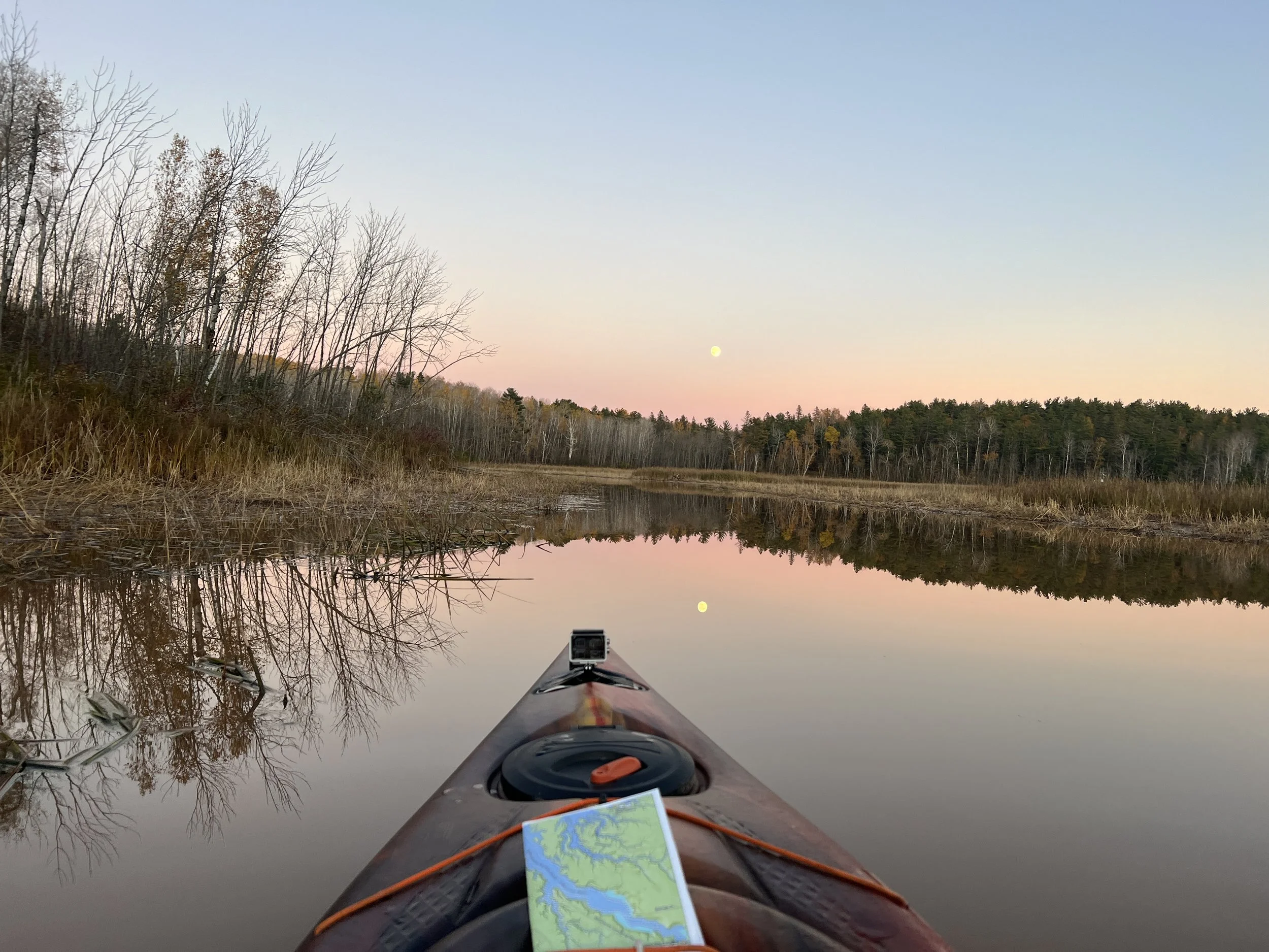
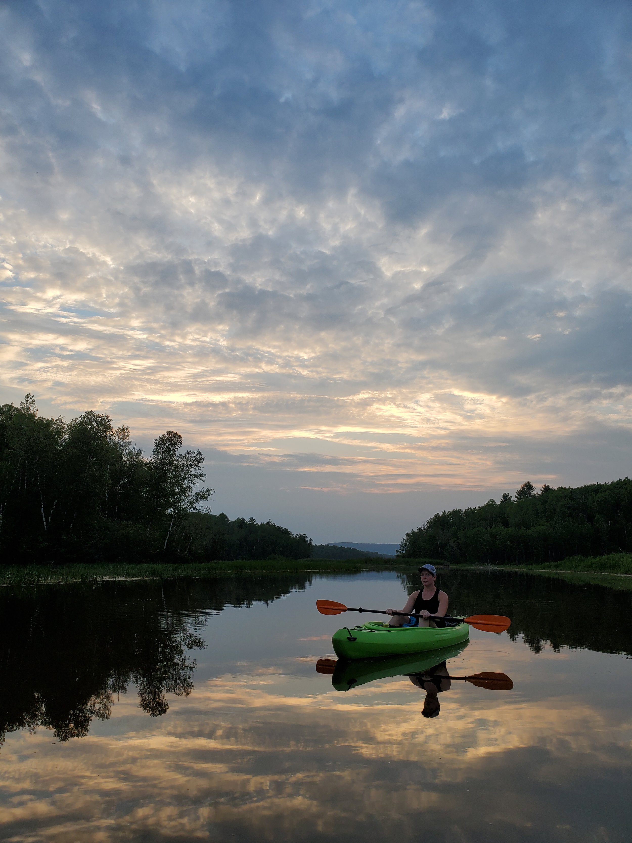
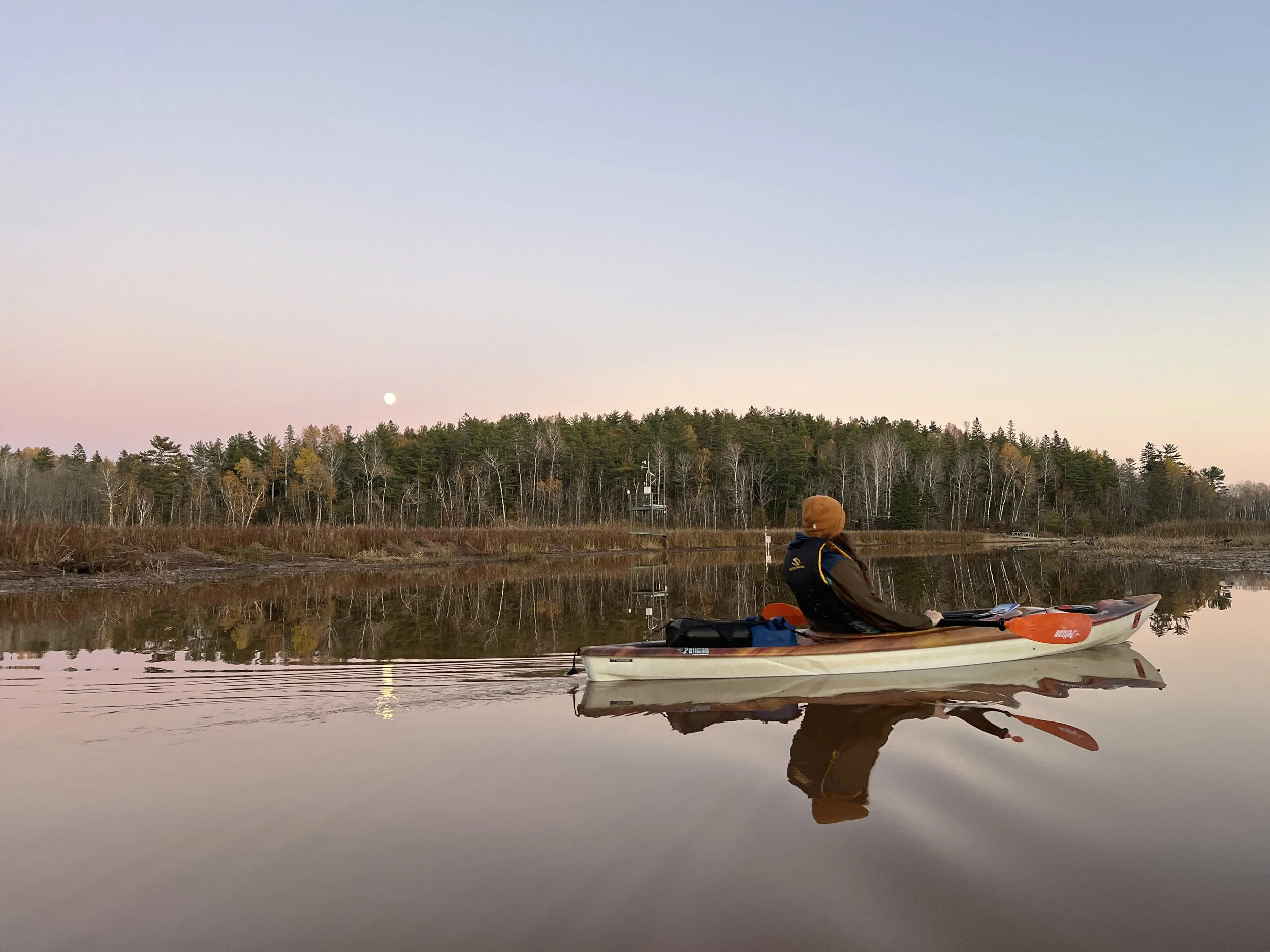
If you're looking for an immersive and nature-rich way to experience the St. Louis River Estuary National Water Trail from the Wisconsin side, a half-day paddle through Pokegama Bay offers the perfect adventure. Sheltered waters, thriving manoomin (wild rice) beds, and abundant wildlife make this calm bay a favorite for paddlers seeking both tranquility and exploration.
Whether you're out for a quiet morning on the water or a longer journey toward Clough Island or Dwight’s Point, Pokegama Bay delivers a peaceful and memorable estuary experience.
UPDATE WITH POKEGAMA MAP
Your Route: A 3–5 Hour Exploration of Pokegama Bay


Launch Point: Pokegama Bay Landing
Your trip begins at Pokegama Bay Landing, a convenient access point with parking and a restroom. The road is closed in winter, but during the paddling season this launch offers easy access into one of the estuary’s calmest bays. Note: Wisconsin requires a parking permit for boats, canoe, and kayak trailers.
A Calm and Scenic Paddle

Pokegama Bay is naturally protected from wind, creating reliably calm conditions ideal for wildlife viewing and slow exploration. Paddle along the shoreline to discover rich manoomin (wild rice) beds, quiet coves, and wide stretches of nutrient-rich water that support birds, fish, and other wildlife. The surrounding public lands of the Superior Municipal Forest give this entire route a wild and peaceful feel—an excellent place to drift, observe, and enjoy the rhythm of the estuary.
Route Options
After about 2.5 mile, the bay opens into wider waters, giving you several options depending on your desired distance and conditions:
Closer exploration: Stay within Pokegama Bay, exploring shoreline habitats and wildlife-rich areas (5 miles total).
Paddle to Clough Island: Approximately 3.5 miles from Pokegama Bay Landing.
Paddle to Dwight’s Point: Approximately 4.5 miles from the landing, offering views of the broader estuary.
These longer options are ideal for paddlers seeking a more adventurous outing while still starting in sheltered water.
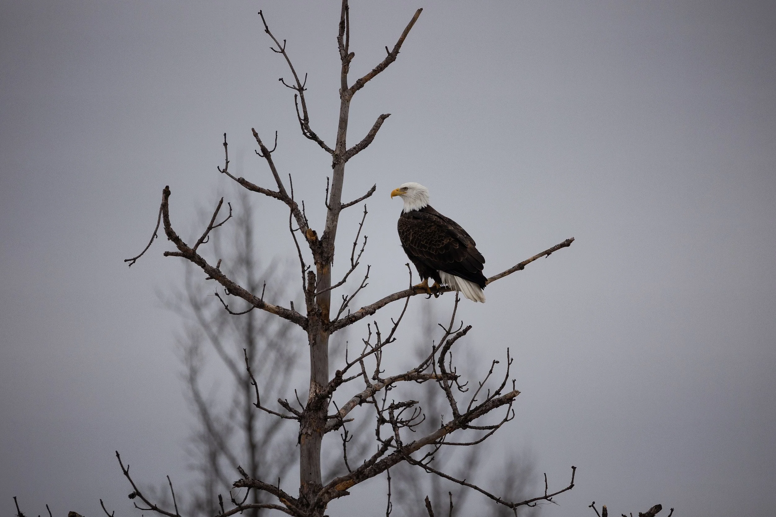
Bald Eagle captured by Matthew Sperrazza.
What You Might See
Pokegama Bay is a hotspot for:
Waterfowl and migratory birds
Manoomin (wild rice) beds
Quiet backwaters and marsh habitats
Diverse fish and aquatic life
Forested shorelines with beautiful views
Bring binoculars—you’re likely to spot something special.
Why Paddle Pokegama Bay?
Calm, protected waters great for beginners
Rich wildlife and natural habitats
Access to longer estuary routes
Scenic and quiet atmosphere
Easy access from Superior, WI
Whether you're out for a gentle morning paddle or setting off toward the larger estuary, Pokegama Bay offers one of the most peaceful and wildlife-filled experiences on the #SLRENWT. Ready to explore the Wisconsin side of the St. Louis River? The calm waters of Pokegama Bay are waiting.